Kumano Kodo: Nakahechi Route
The Complete Guide and Itinerary for the 4 Day / 3 Night Trip

What is the Kumano Kodo?
The Kumano Kodo is an ancient web of trails that has pulled people into the deep, mountainous heart of the Kii Peninsula for over a thousand years. These paths connect the three grand shrines of the Kumano Sanzan: Hongu Taisha, Hayatama Taisha, and Nachi Taisha. For centuries, the journey was a rigorous undertaking for everyone from retired emperors to commoners.
It is one of only two pilgrimage networks in the world recognized as a UNESCO World Heritage site, and its history is rooted in an inclusive tradition that welcomed practitioners of various beliefs into its sacred landscape.
Understanding the Nakahechi Trail: The Imperial Route
The Nakahechi Trail is the most popular and accessible route within the Kumano Kodo network. Known as the "Imperial Route," it was the path favored by the Japanese nobility and the Imperial family during their pilgrimages from Kyoto starting in the 10th century.
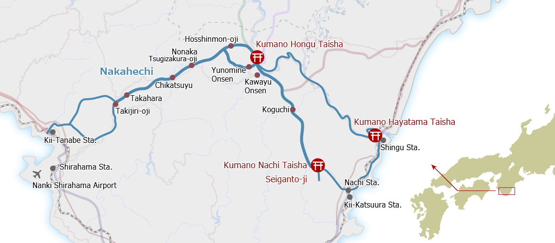
Starting from Kii-Tanabe on the west coast, the trail leads directly into the mountainous heart of the peninsula toward Kumano Hongu Taisha. The Nakahechi is defined by three key characteristics:
Ishitami (Cobblestone Paths): Ancient stones laid by hand to navigate the region's steep slopes and high rainfall.
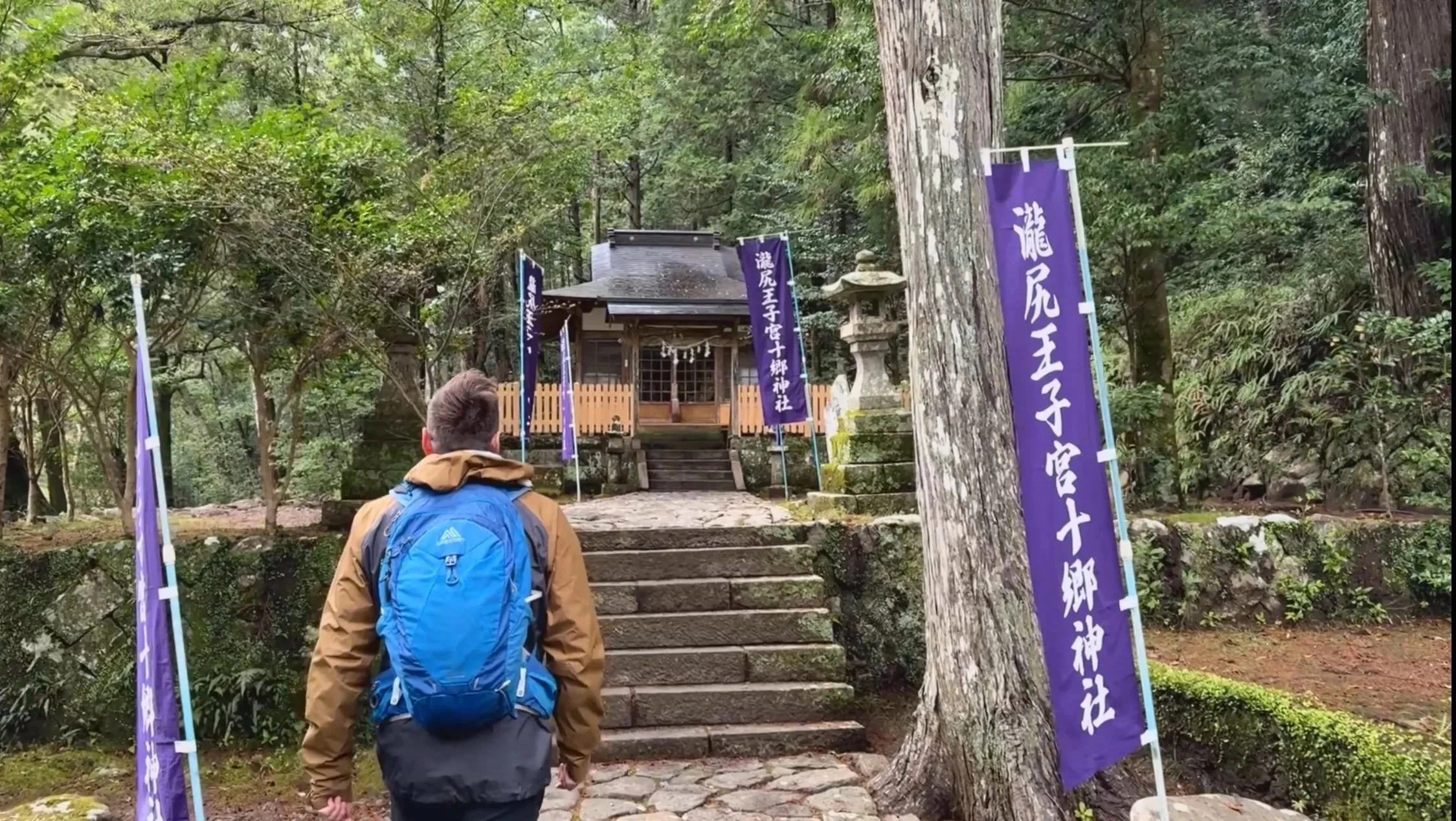
Oji Shrines: A network of sub-shrines that acted as navigational landmarks, ritual sites, and resting places for pilgrims.
Mountain Topography: The route traverses deep cypress and cedar forests, providing a direct experience of the rugged geography that defines the Kii Peninsula.
Because the Nakahechi offers the best infrastructure, including regular bus access and village stays, it is the primary choice for travelers planning a 4-day Kumano Kodo itinerary.
Where is the Kumano Kodo?
The trails are located on the Kii Peninsula, a rugged finger of land that juts out from the southern coast of Japan’s main island, Honshu. The network primarily spans Wakayama Prefecture, though it reaches into parts of Mie and Nara.
Geographically, the trails are situated south of major Kansai hubs:
Distance from Osaka: Approximately 2.5 to 3 hours by train (JR Kuroshio Limited Express) to reach the gateway city of Kii-Tanabe.
Proximity to Kyoto: Around 3.5 hours by rail.
The terrain is defined by the Kii Mountain Range, a jagged landscape that drops steeply into the Pacific Ocean, creating a world of dense cypress forests and hidden river valleys that feel isolated from the rest of the country.
What to Expect: The Physical Reality
Steady Elevation
The Nakahechi consists of consistent climbs and descents. Much of the trail is made up of stone staircases, particularly the opening stretch at Takijiri-oji and the slopes leading toward the ridges. These sections require a steady pace to manage the varying heights of the ancient steps.
The Ishitami Surface
A significant portion of the route is paved with Ishitami (cobblestones). These stones are rounded and weathered. Foot placement remains a primary focus to navigate the moss and the cedar roots that intersect the path.
Forest Environment
The hike stays under a thick canopy of cedar and cypress. This provides constant shade and keeps the air humid. Mist frequently settles in the valleys, maintaining a quiet and enclosed atmosphere throughout the day.
The Oji Milestone System
Navigation is guided by Oji shrines and wooden signposts located every 500 meters. These serve as the primary waypoints for tracking distance. These markers provide a clear sense of progress through the forested sections.
Village Logistics
The route connects small mountain settlements. Hikers carry a daypack with water and a bento lunch provided by the local inns. The local bus network runs parallel to many sections, offering a logistical backup if needed.
Cultural Landmarks
The forest path eventually opens to the grand shrines. You will reach the 33-meter tall Oyunohara Torii gate and the thatched roofs of Hongu Taisha. The day typically ends with a soak in the natural hot springs of Yunomine or Kawayu for recovery.
Day 1: Osaka to Kii-Tanabe
The Objective
Transition from the city to the mountains. Establish your logistical base in Kii-Tanabe before the trail begins at Takijiri-oji the following morning.
Key Locations
Kii-Tanabe Station: The primary transport hub. Reachable via the JR Kuroshio Limited Express from Osaka (3 hours).
Tokei-jinja Shrine: A 10-minute walk from the station. Historically used as a proxy for the three grand shrines, it is a required stop for the first pilgrimage stamp.
Ajikoji Alley: A network of over 200 small eateries next to the station. This is the spot for a local dinner, focused on fresh Pacific seafood like horse mackerel.
Essential Logistics
Cash: Withdraw all necessary funds for the trail. Mountain inns and local buses are cash-only.
Luggage: Drop off large bags at the Tanabe City Tourism Bureau (next to the station) for forwarding to your end destination.
Transport: Confirm the bus schedule for the 40-minute ride to Takijiri-oji.
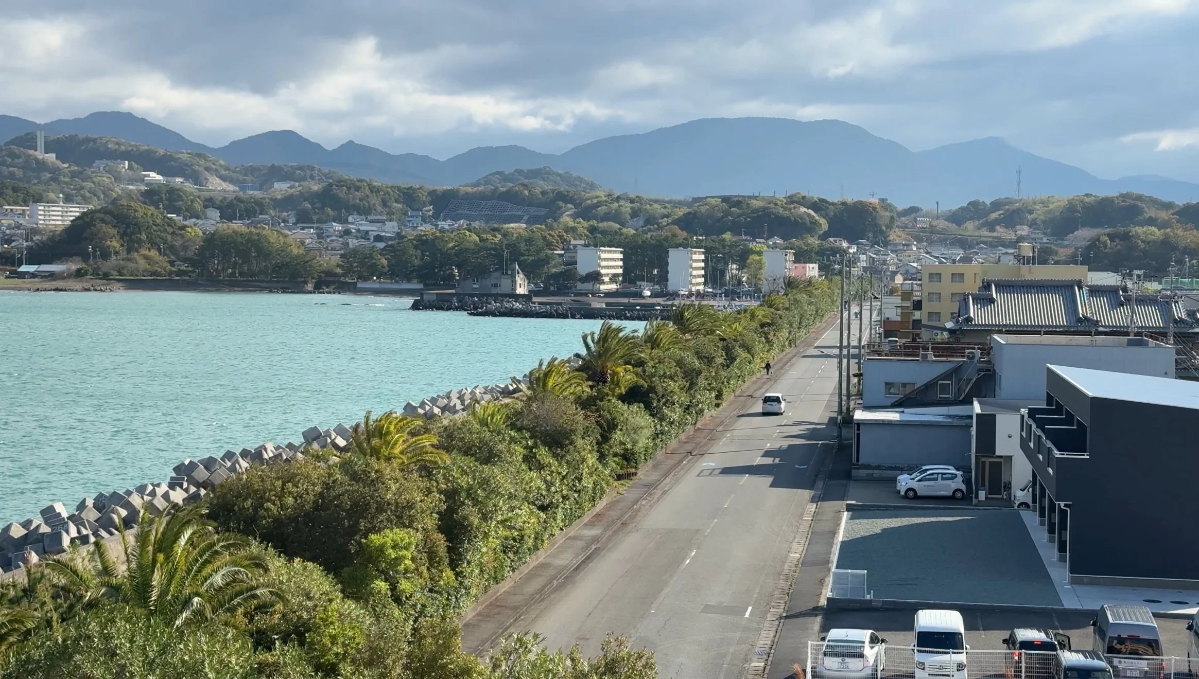
The journey begins in the coastal city of Kii-Tanabe. While the mountain trails officially start further inland, this is the functional anchor for the pilgrimage. Most travelers arrive here via the JR Kuroshio Limited Express, transitioning from the urban sprawl of Osaka to the rugged edge of the Kii Peninsula.
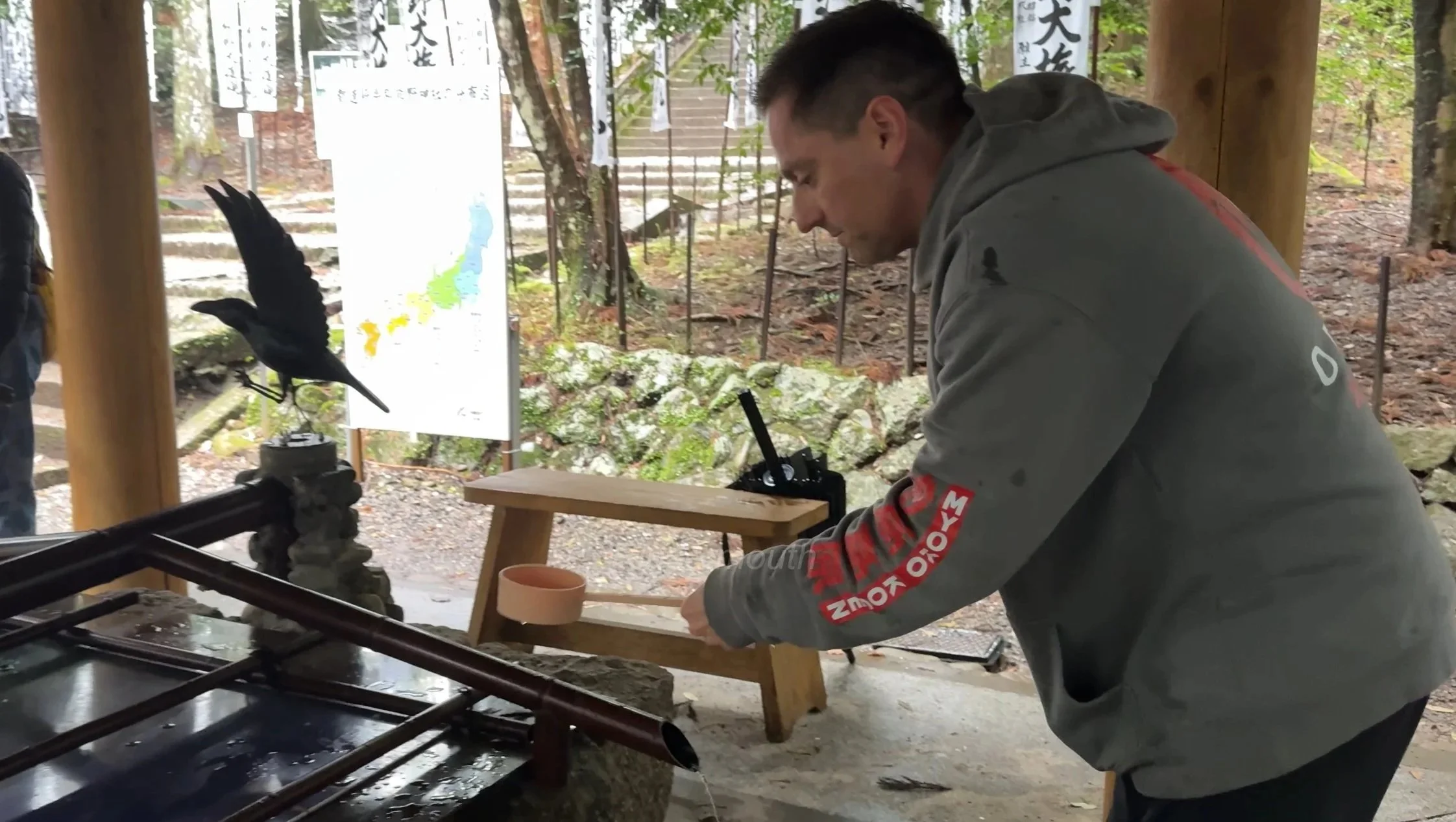
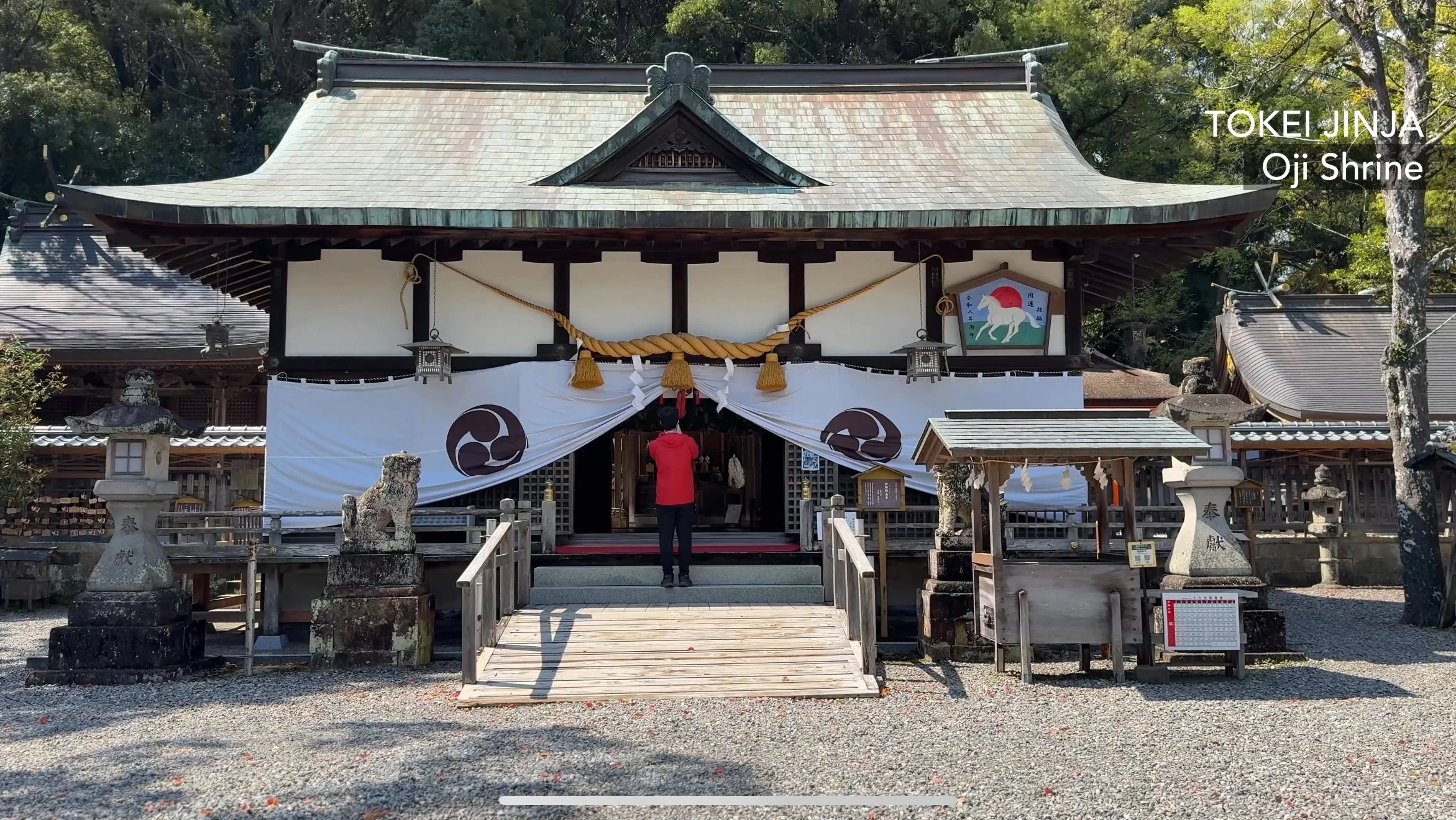
Tokei-jinja Shrine
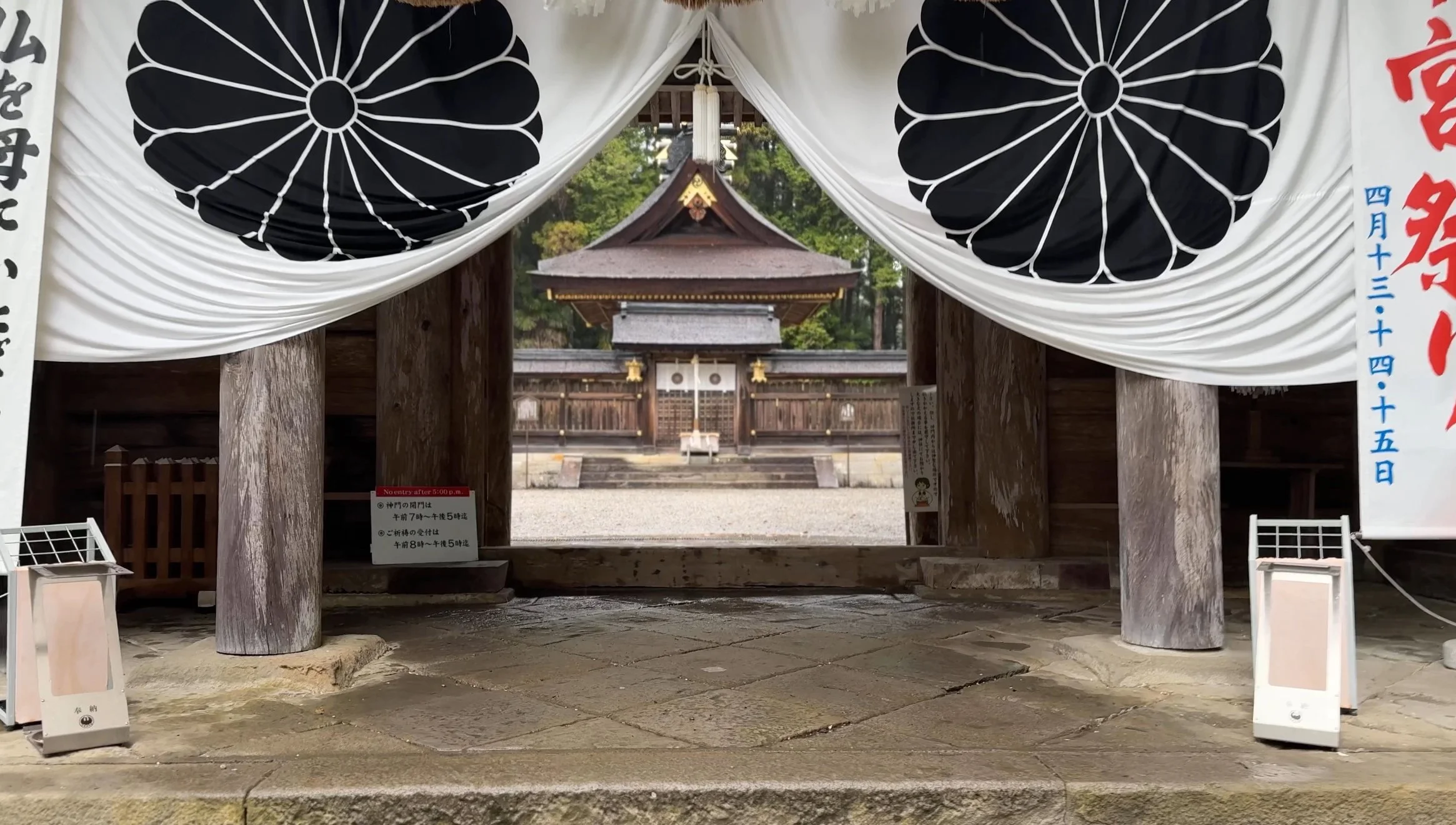
Before heading into the mountains, the traditional first stop is Tokei-jinja. Historically, this served as a "proxy" shrine. Pilgrims who were unable to visit all three grand shrines of Kumano would pray here to receive the same blessings. Today, it remains a UNESCO site where you can collect your first stamp and pay respects before the ascent.
The Ajikoji Network
The evening in Tanabe is centered around Ajikoji, a dense grid of over 200 small restaurants and bars packed into narrow alleys near the station. The food here is grounded in the local catch which is specifically Aji (horse mackerel) and Shirasu (whitebait).
Preparation and Logistics
The atmosphere in Tanabe is a mix of sea air and anticipation. You are at the edge of the mountains, with the coastal lights of the town serving as the final contrast to the dark, wooded ridges that define the next three days.
Day 2: Kii-Tanabe to Chikatsuyu
The day begins at Kii-Tanabe Station. You take the Ryujin bus toward Hosshinmon-oji and get off at the Takijiri-oji stop. This ride takes about 40 minutes. This is where the pavement ends and the trail begins.
Overview
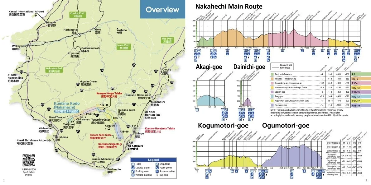
Objective: Travel from the coast to the mountains and complete the 13 km trek from Takijiri-oji to Chikatsuyu.
Key Stats:
Distance: 13 km hike
Time: 40-minute bus, 5 to 7 hours of hiking
Elevation Gain: 850 m
Highest Point: Uwamiya-oji (450 m)
Logistics:
Start: Kii-Tanabe Station
Finish: Chikatsuyu-oji
Water Refill Points: Takahara is the only reliable stop for water mid-hike
Terrain: Forest trails, stone stairs, and short paved sections
The Hike
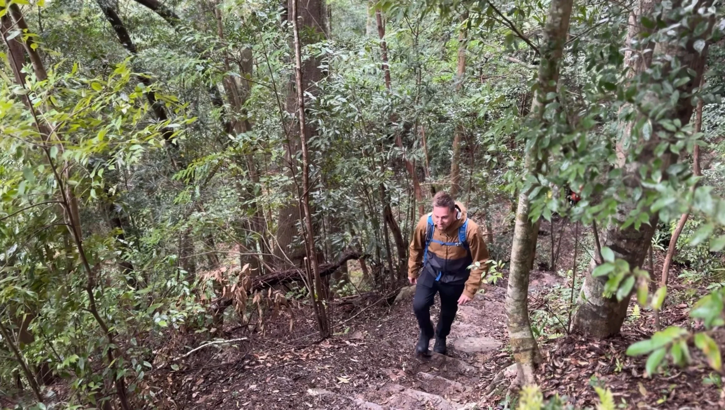
The trail starts immediately behind the Takijiri-oji shrine building. There is no warm up period. The first hour is a steep climb through a mesh of cedar roots and limestone, gaining nearly 300 meters in the first two kilometers. You pass the Kotohiki-iwa rock outcrop and the Tsurugi-no-maki climb, where the incline is at its sharpest. The forest provides deep shade and a cool breeze that is a contrast to the coastal air.
The trail levels out once you reach the village of Takahara. This is a ridge top settlement with terraced fields looking out over the Hiki-gawa Valley. The local shrine, Takahara Kumano-jinja, sits under massive camphor trees and is the oldest building on the route. It is a logical place to stop and use the vending machines before the next stretch.
Leaving Takahara, the path re-enters the woods and rolls along the ridge through stands of Japanese cypress toward Daimon-oji. The ground here is damp and the light is filtered. You eventually hit Jyu-gyu-zaka (Ten Cow Slope), a steady descent that leads to the Gyuba-doji statue. This is a small stone carving of a priest on a cow and horse located on a mound to the left of the trail.
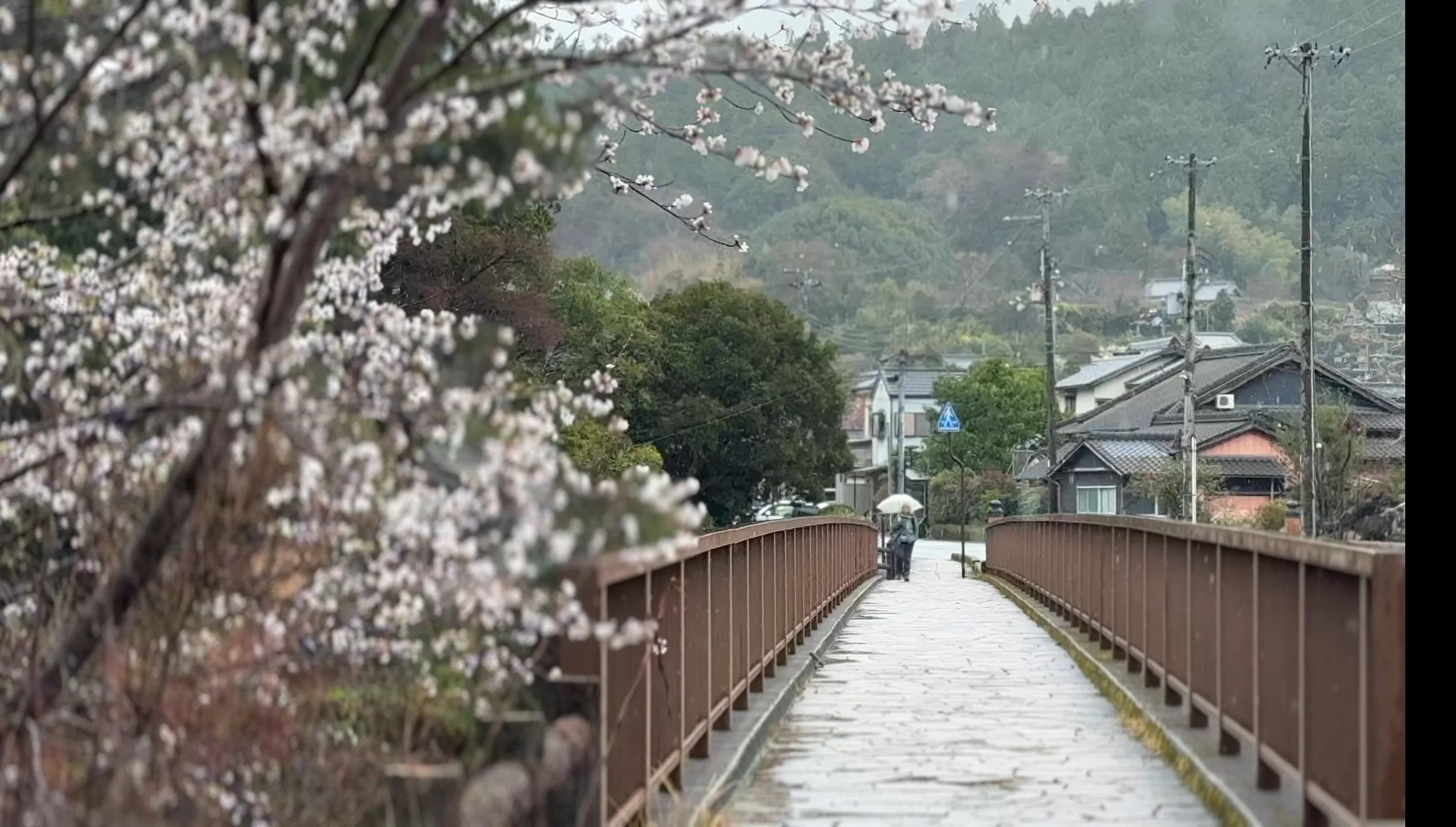
The day ends with a paved descent into Chikatsuyu. You cross a bridge over the Hiki-gawa River into a compact valley filled with traditional inns and gardens. The sound of the river is constant here, providing a quiet backdrop after a day spent on the high ridges.

Day 3: Chikatsuyu to Kumano Hongu Taisha
This is the most demanding day of the Nakahechi route. It is a full day crossing through the heart of the Kii Mountains.
Overview
Objective: Trek from the Chikatsuyu basin to the central grand shrine at Hongu.
Key Stats:
Distance: 25 km
Time: 9 to 12 hours
Total Cumulative Elevation Gain: 830 m
Highest Point: Detchi-toge Pass (700 m)
Logistics:
Start: Chikatsuyu-oji
Finish: Kumano Hongu Taisha (70 m)
Refill Points: Vending machines at Kobiro-oji and Hosshinmon-oji
Terrain: Paved village roads, gravel logging tracks, and steep mountain trails
The Hike
The day starts with a walk out of Chikatsuyu (265 m) toward the Kobiro-oji area. The first 7 km move through small settlements on paved and gravel roads. Near Tsugizakura-oji, you pass the Nonaka-no-Ipushugi, a grove of ancient cedar trees. This initial section takes roughly 2 hours and ends at Kobiro-oji (435 m).
The nature of the trail changes at Kobiro-oji. This marks the start of the unpaved mountain sections. You enter an 11 km stretch of forest with no escape routes or services. The climb to Detchi-toge Pass (700 m) is the primary physical challenge. The path is a mix of dirt and stone stairs. After clearing the pass, you remain on the ridge and cross Mikoshi-toge (626 m) before beginning the long descent toward Hosshinmon-oji (312 m). This middle section typically requires 5 to 7 hours due to the uneven footing.
Hosshinmon-oji is the gate of the outer sanctuary. The final 7 km from this point are less physically intense, consisting of forest paths and local roads through ridge-top villages. At Fushigami-oji, you get the first view of the Hongu valley and the shrine grounds below. This final descent takes 2 to 3 hours.
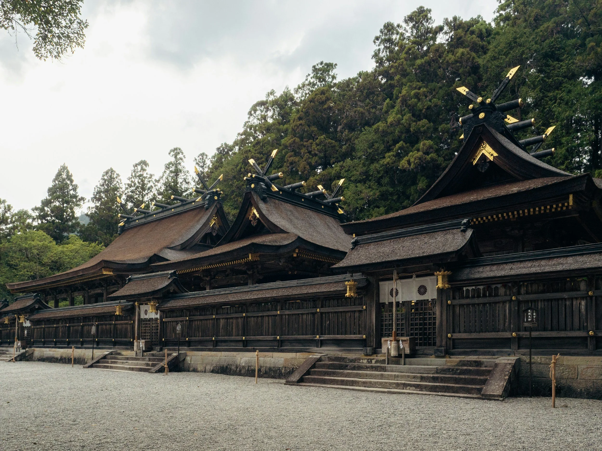
The Finish
The descent from the mountains leads directly into the rear entrance of the Kumano Hongu Taisha complex. This is the first of the three grand shrines of Kumano. The path brings you past the main sanctuary buildings where the cedar bark roofs and gold leaf details mark the completion of the Nakahechi crossing.
After exiting the main shrine gates, you walk down a long stone staircase into the town of Hongu. A short walk across the main road leads to the entrance of Oyunohara. This is a massive sandbar at the confluence of the Kumano and Otonashi rivers. It is the original location of the shrine before it was partially destroyed by a flood in 1889.
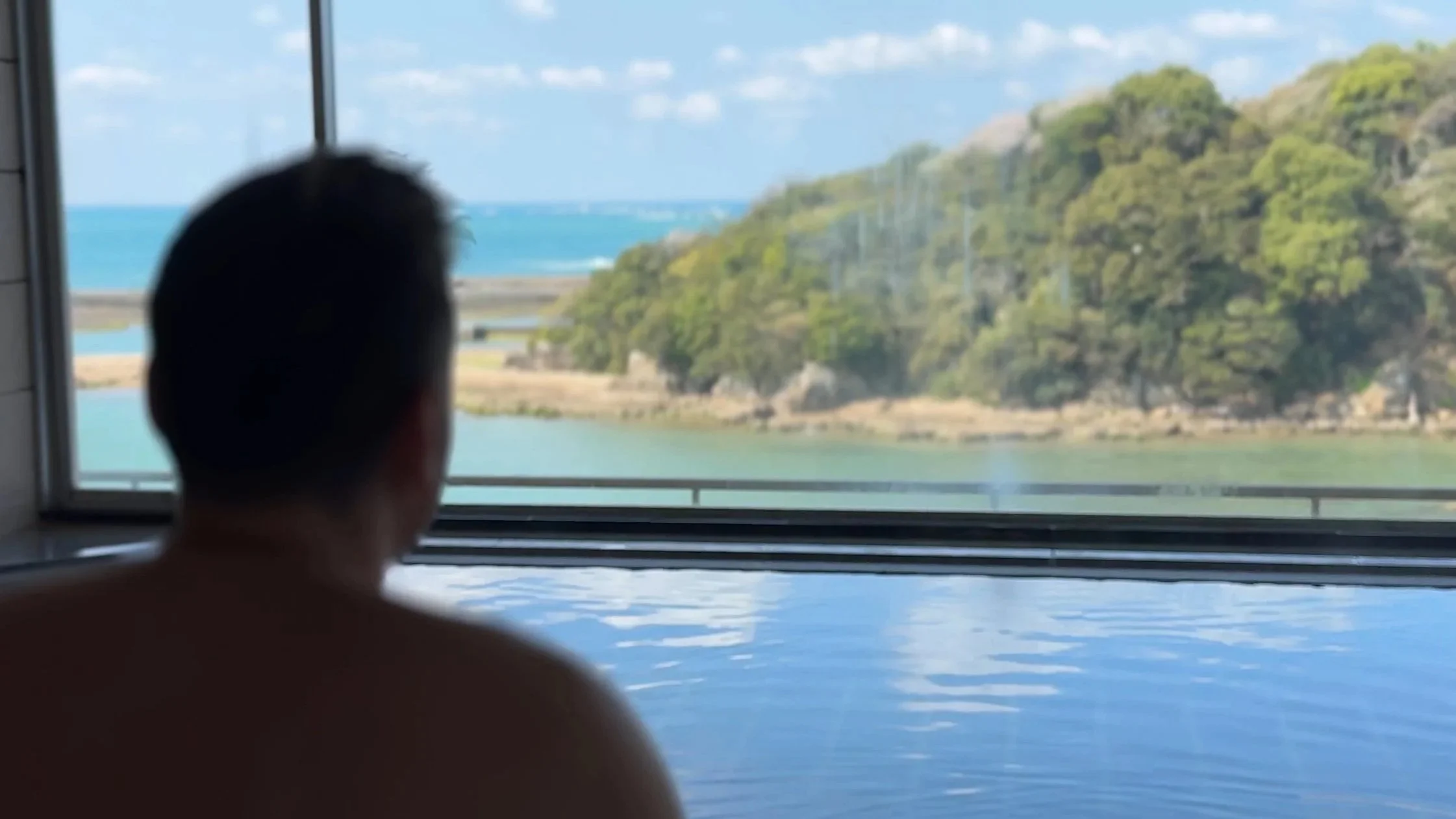
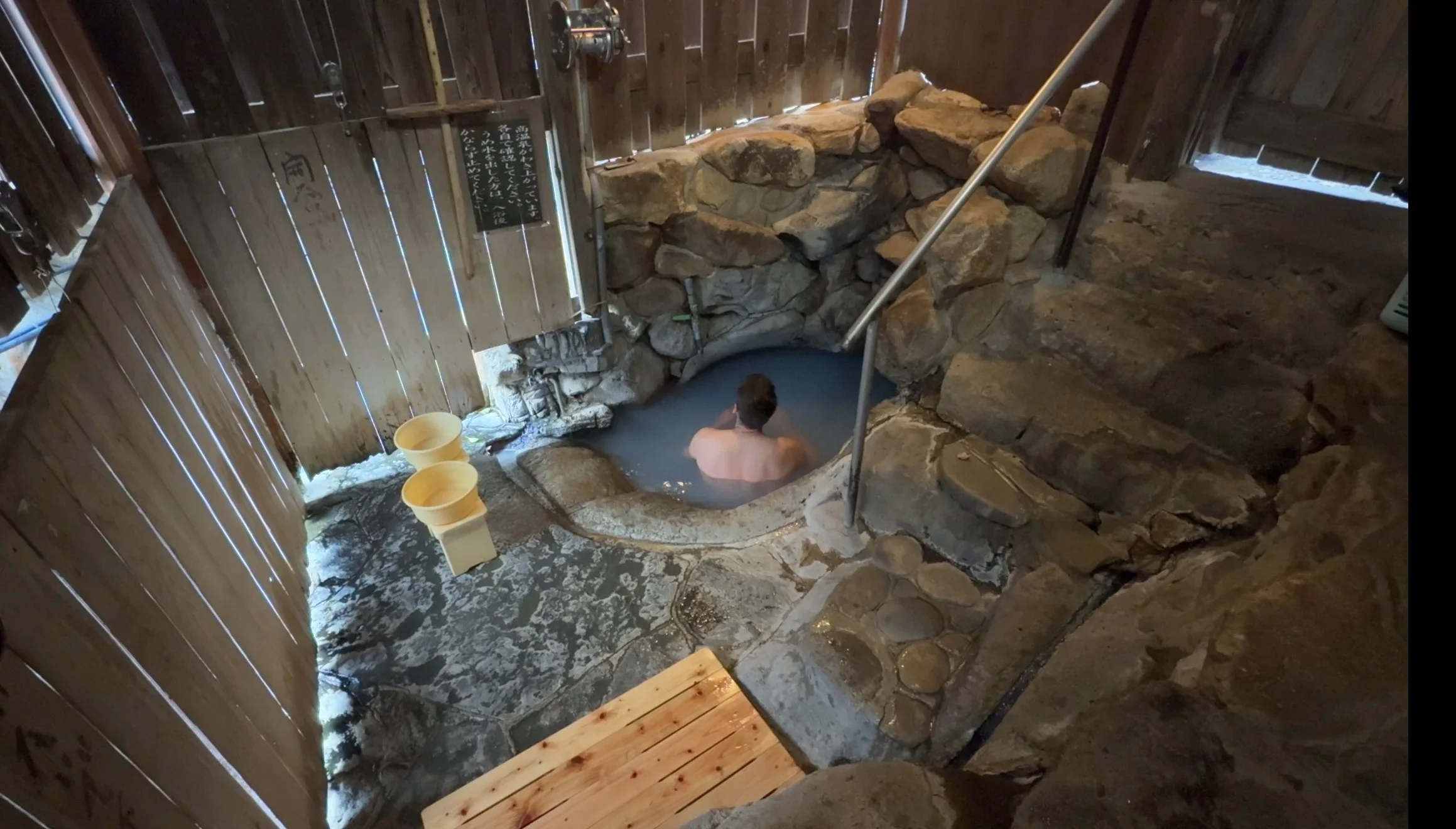
The day ends at the Oyunohara torii gate. Standing at 33 meters, it is the largest in the world and serves as the visual marker for the end of the trek. Most hikers then take a local bus or walk the final 3.5 km via the Dainichi-goe to reach Yunomine Onsen, where the traditional overnight stay includes a soak in the thermal hot springs to recover from the 25 km distance.

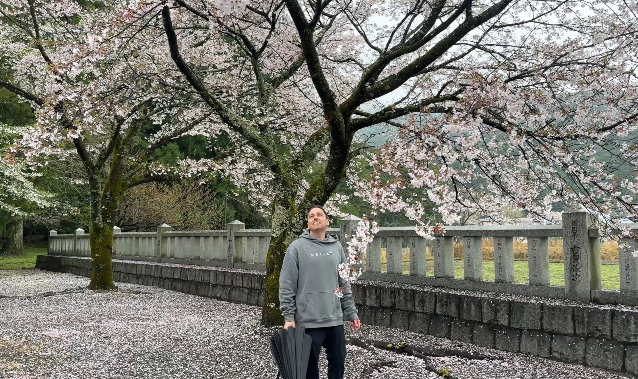
Day 4: Hongu Area and Shirahama Beach
The fourth day serves as a strategic break between the high-mileage day to Hongu and the final, technical crossing to Nachi. It focuses on recovery and the contrast between the mountain interior and the Pacific coast.
Overview
Objective: Spend the morning at the historical sites in Hongu or Yunomine before taking a bus and train to the coastal resort of Shirahama.
Logistics:
Location: Hongu / Yunomine Onsen to Shirahama.
Transport: Bus from Hongu to Kii-Tanabe Station (2 hours), then JR train to Shirahama (15 minutes).
Activity: Hot spring recovery and coastal exploration.
Morning: Cultural Immersion in Hongu or Yunomine
Instead of starting a 6 hour hike, use the morning to visit the sites that are often rushed during the trek.
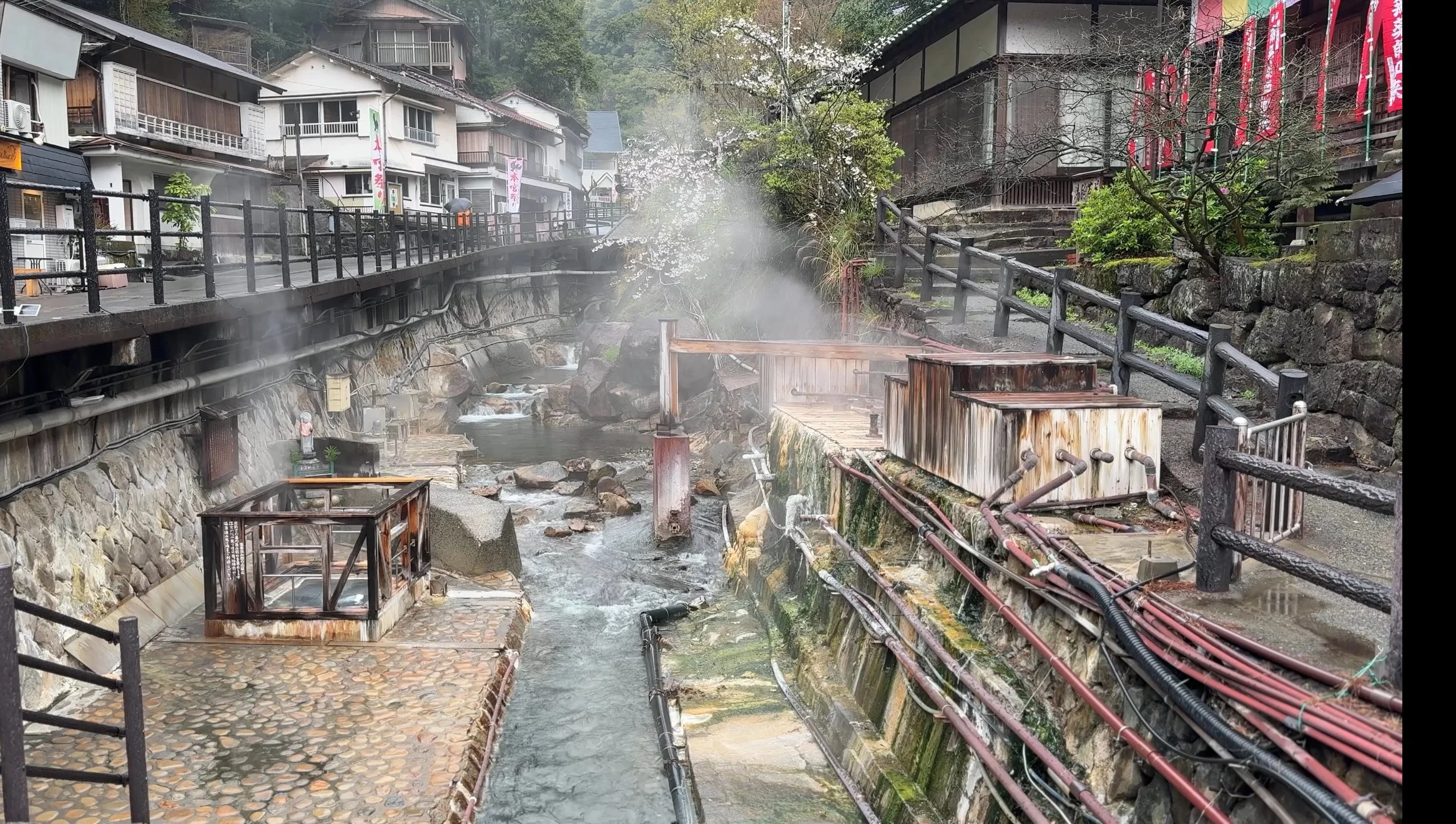
Tsuboyu (Yunomine Onsen): Located 10 minutes by bus from Hongu, this is the only UNESCO-listed hot spring you can bathe in. It is a small, natural rock cabin in the river where pilgrims have performed purification rituals for over 1,000 years.
Hongu Exploration: Spend time at the Hongu Heritage Center or revisit the grand shrine to look at the detailed woodwork and the auxiliary shrines that represent the 3,600 peaks of Kumano.
Afternoon: Where next after Kumano Hongu?
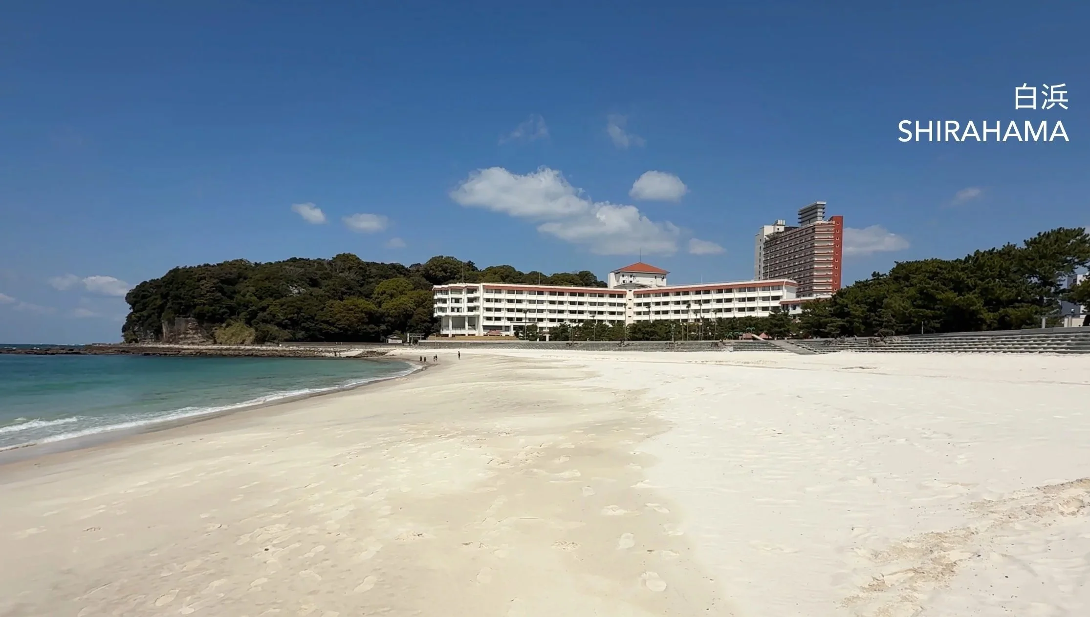
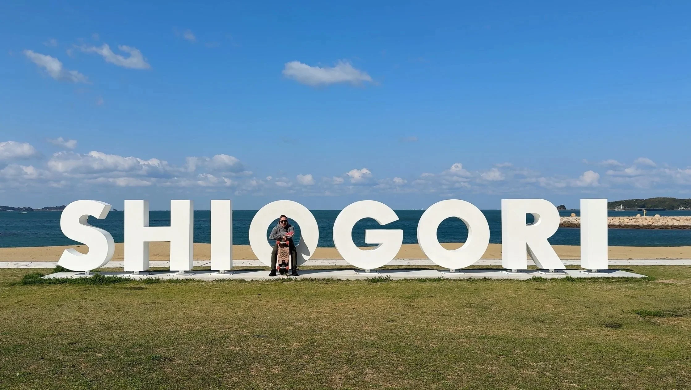
Option A: Shirahama Beach (Coastal Reset)
The move for physical recovery and a shift in scale.
The Experience: Trade vertical mountain stairs for the horizontal expanse of white sand. Walking on the flat beach provides a mechanical reset for your joints.
Key Spot: Saki-no-yu Onsen, an ancient bath on a volcanic rock ledge where waves crash against the stone walls.
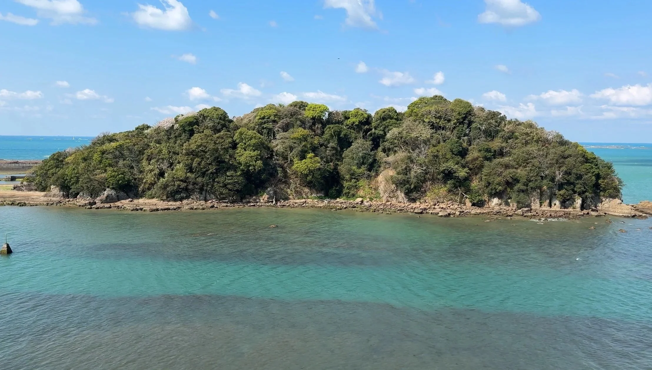
The Finish: Sunset at Engetsu Island, a natural sea arch that provides a visual bookend to the mountain trek.
How to Get There: Take the local bus from the Hongu Taisha-mae stop to Kii-Tanabe Station (approx. 2 hours). From there, take the JR Kuroshio Limited Express or a local train to Shirahama Station (15 minutes). Local buses from the station reach the beach and Saki-no-yu in 15–20 minutes.
Option B: Nakahechi Waterfalls (Forest Immersion)
The move for those who want to stay in the pilgrimage atmosphere.
The Experience: A short, steep detour from the main trail into a shaded ravine to visit Ichino-taki and Nino-taki.
Key Spot: The base of the first fall, historically used for Takigyo (waterfall meditation) to purify the mind.
The Finish: A quiet afternoon in the mossy, damp interior of the Kii Peninsula, away from the coastal crowds.
How to Get There: Take the local bus (Ryujin or Meiko line) from Hongu Taisha-mae heading back toward Tanabe and get off at the Nonaka-no-Ipushugi stop (approx. 30 minutes). The trailhead to the waterfalls is a short walk from the bus stop, descending into the valley.
Official Kumano Kodo Gear Checklist
Technical Gear
[ ] 1 pair hiking boots: Mid-cut with ankle support and high-grip soles for wet limestone.
[ ] 1 set rain gear: High-quality breathable jacket and pants. Umbrellas are not safe on steep ridges.
[ ] 1 backpack: 20 to 30 liters with a waterproof rain cover.
[ ] 1 pair hiking poles: Essential for the 800 m vertical descents.
[ ] 1 headlamp: Necessary for forest sections where it gets dark by 4:00 PM.
Clothing and Layers
[ ] 2 pairs hiking pants: Quick-dry synthetic material. No denim.
[ ] 3 sets base layers: Moisture-wicking shirts (merino wool or synthetic).
[ ] 3 pairs underwear: Synthetic or wool to prevent chafing in high humidity.
[ ] 3 pairs hiking socks: Thick wool-blend to prevent friction blisters.
[ ] 1 insulation layer: Lightweight fleece or packable down vest for high passes.
[ ] 1 hat: Wide-brimmed for sun and rain protection.
[ ] 1 set sleepwear: Lightweight for use inside the minshuku or ryokan.
Personal Care and Protection
[ ] 1 bottle sunscreen: High SPF for exposed ridge sections like Hyakken-gura.
[ ] 1 bottle insect repellent: Essential for mountain leeches (yamabiru) and flies.
[ ] 1 first aid kit: Including blister pads (Compeed), antiseptic, and bandages.
[ ] 1 quick-dry towel: Small size for purification sites or onsen.
[ ] 1 bottle hand sanitizer: For remote trailhead facilities.
Logistics and Documentation
[ ] 2 liters water capacity: Minimum for long mountain stretches with no vending machines.
[ ] 1 portable battery bank: To maintain phone navigation and GPS.
[ ] 1 Nakahechi Map Book: The official dual-language guide.
[ ] 1 Stamp booklet: For the Dual Pilgrim program.
[ ] Physical cash: Japanese Yen in small denominations for buses and mountain shops.